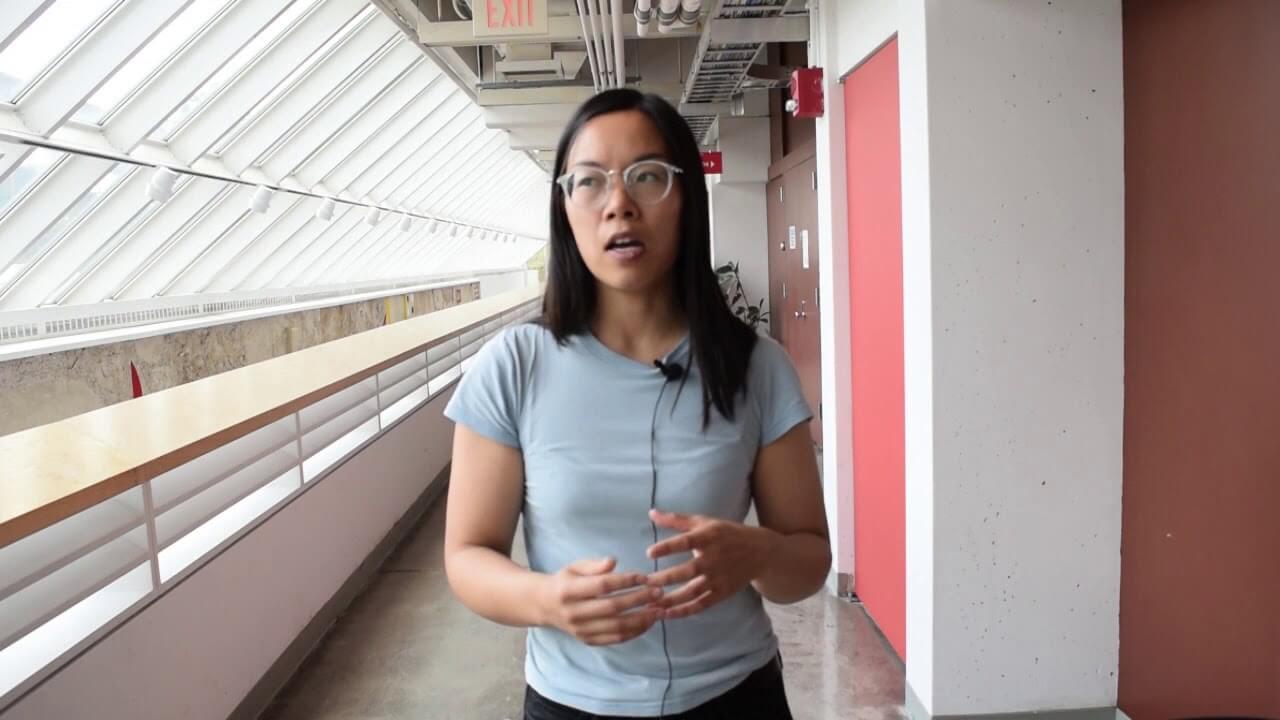
Marena Lin (Harvard University) summarizes her presentation at the Harvard Center of Mathematical Sciences' Big Data Conference 2017.
Title: Optimizing climate variables for human impact studies
Abstract: Estimates of the relationship between climate variability and socio-economic outcomes are often limited by the spatial resolution of the data. As studies aim to generalize the connection between climate and socio-economic outcomes across countries, the best available socio-economic data is at the national level (e.g. food production quantities, the incidence of warfare, averages of crime incidence, gender birth ratios). While these statistics may be trusted from government censuses, the appropriate metric for the corresponding climate or weather for a given year in a country is less obvious. For example, how do we estimate the temperatures in a country relevant to national food production and therefore food security? We demonstrate that high-resolution spatiotemporal satellite data for vegetation can be used to estimate the weather variables that may be most relevant to food security and related socio-economic outcomes. In particular, satellite proxies for vegetation over the African continent reflect the seasonal movement of the Intertropical Convergence Zone, a band of intense convection and rainfall. We also show that agricultural sensitivity to climate variability differs significantly between countries. This work is an example of the ways in which in-situ and satellite-based observations are invaluable to both estimates of future climate variability and to continued monitoring of the earth-human system. We discuss the current state of these records and potential challenges to their continuity.
